
The U.S. Civil War: Navigating Decisive Battles with Dynamic Maps

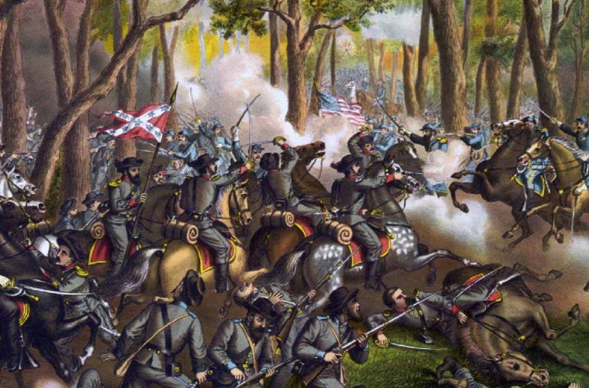
Step into the heart of one of America’s most pivotal epochs – the U.S. Civil War, an era etched in the collective memory of a nation. Spanning the years from 1861 to 1865, this monumental clash divided a country and tested its very soul. It pitted the free states of the North and West against the seceding slave states of the South, creating a crucible of conflict that reshaped the course of history maps.
The drama commenced with a single shot at Fort Sumter, nestled in the harbor of Charleston, South Carolina, in April 1861. A relentless series of skirmishes, maneuvers, and full-scale battles unfolded across the American landscape, leaving scars that endure to this day. With casualties numbering in the hundreds of thousands, the U.S. Civil War earned its place as the bloodiest chapter in American annals.
Delving into the depths of this conflict demands more than mere recounting – it requires visualizing the theater of war where destinies were forged and futures decided. Enter the realm of battle maps—precious cartographic artifacts that offer a panoramic view of engagements, the strategic dance across the terrain, and the human toll exacted by warfare. Through these meticulously crafted maps, we glean insight into the tactics, triumphs, and tragedies that defined this tumultuous era.
At the heart of this saga lies the Battle of Gettysburg, a crucible of courage and carnage that unfolded from July 1 to 3, 1863. This clash, an apex of Union and Confederate might, proved to be the tipping point of the war. Its hallowed grounds witnessed staggering losses and dashed the aspirations of General Robert E. Lee’s audacious Northern invasion.
Venture westward, and the narrative unfolds amidst the lush landscapes and turbulent waters of the Mississippi River. Here, campaigns and conflicts reshaped the destiny of a nation. The Union’s strategic conquests, including the pivotal capture of Vicksburg under General Ulysses S. Grant, severed Confederate supply lines and cleaved the South in twain—a crippling blow to the Rebel cause.
As April 1865 dawned, the curtains drew on this epoch of bloodshed, mingling relief with sorrow as a war-weary nation confronted its losses. The surrender of General Lee and the Army of Northern Virginia at Appomattox Courthouse marked not just the end of the Confederate dream but also the dawn of a fraught journey toward reconciliation.
Today, as we cast our gaze back upon the Battles of the U.S. Civil War, we pay homage to the sacrifices made and the lessons learned in the crucible of conflict. Through the lens of American Civil War battle maps and the annals of history, we unearth a newfound reverence for the resilience of the human spirit and the enduring legacy of those who stood firm in the face of adversity. Let us honor their memory by charting a path toward a future where the scars of the past serve as markers of resilience, forging a more just and united tomorrow.
Embark on a journey of discovery through the Battles of the U.S. Civil War and explore interactive battle maps at National Geographic’s repository of resources.